ABOUT OUR DRONE SERVICES
At Advanced Drone Solutions BC Inc, we offer a variety of commercial and industrial drone services for industries such as Construction, Mining and Gravel, Property Management, Transportation and Infrastructure, Development, Municipalities and Gas and Power.
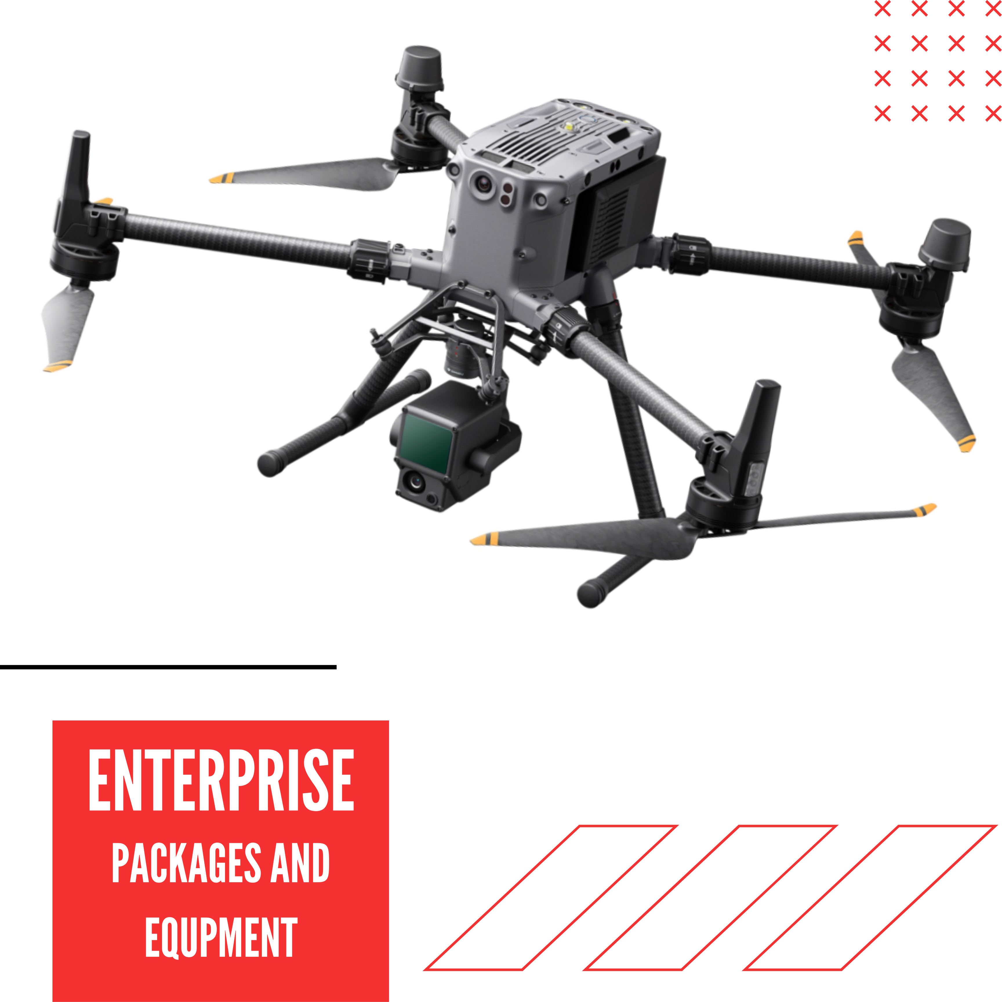
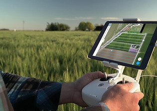
Using some of the most cutting edge technology and experienced pilots, we can collect data that can help cut costs, keep personnel safe and speed up crucial steps in your projects. Our aerial platforms carry high end payloads that can collect data while keeping our pilots and your personnel safe at a distance.
All of our pilots, co pilots and operations staff are regularly trained on standards for safety, updated on regulatory changes with our continued education programs, wear full personal protection equipment and are covered thru WCB and $5 Million Dollars in liability insurance. We take safety on all our projects seriously.
Inspections:
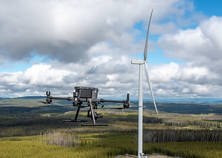
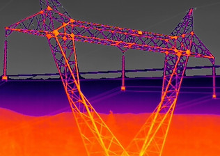
We offer a variety of inspections services ranging from Asset Inspections, Thermal and RGB Roof Inspections, Electrical Distribution and Tower, Oil and Gas Asset and Corridor Inspections, Hard or Dangerous to access areas and Confined Space Inspections.
Monitoring and Management:
We offer monitoring and management services for Assets, Corridors, Waterways and Coast Lines, Natural Hazards and Disasters, Highways, Bridges and Infrastructures and Road Safety.
Construction Services:
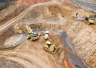
We offer a variety of construction focused aerial drone services from Volume Calculations, Cut and Fill Calculations, Change over time, Road slope monitoring, Stock holder updates images, Lidar Point clouds, Digital Terrain Models and High Resolution images for site planning.
Inspections:
We offer a variety of inspections services ranging from Asset Inspections, Thermal and RGB Roof Inspections, Electrical Distribution and Tower, Oil and Gas Asset and Corridor Inspections, Hard or Dangerous to access areas and Confined Space Inspections.
We offer monitoring and management services for Assets, Corridors, Waterways and Coast Lines, Natural Hazards and Disasters, Highways, Bridges and Infrastructures and Road Safety.
We offer a variety of construction focused aerial drone services from Volume Calculations, Cut and Fill Calculations, Change over time, Road slope monitoring, Stock holder updates images, Lidar Point clouds, Digital Terrain Models and High Resolution images for site planning.
We offer a variety of Aerial Mapping and Survey services from Aerial Photogrammetry, Ground Based Photogrammetry, Lidar Service, Digital Terrain Models, Bare Earth Models, Tin Surface Models and Documenting Terrain Changes over time.
Capturing the data is hard but we make it easy for you,
Advanced Drone Solutions BC Inc
Is Dependable, Accurate, Licensed and Insured
Environmental Monitoring:
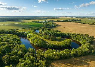
We offer drone services targeted to Environmental monitoring from monitoring Shore Line Erosion, Dike Erosion and Maintenance Identification, Change over time, Ditch and Culvert monitoring, Natural Hazard and Disaster Response to Slope Monitoring.
Mapping and Aerial Surveys:
We offer a variety of Aerial Mapping and Survey services from Aerial Photogrammetry, Ground Based Photogrammetry, Lidar Service, Digital Terrain Models, Bare Earth Models, Tin Surface Models and Documenting Terrain Changes over time.
Capturing the data is hard but we make it easy for you,
Advanced Drone Solutions BC Inc
Is Dependable, Accurate, Licensed and Insured
Archaeological / Cultural:
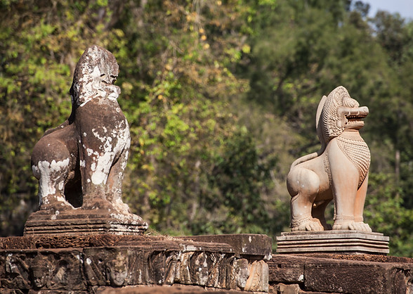
Documenting and preserving archaeological and cultural history is important, we offer 3d Twins of buildings, sites, and artifacts as well as use lidar to identify potential historical sites under vegetation.
OUR PREVIOUS CLIENTS
Environmental Monitoring:
We offer services targeted to Environmental monitoring from monitoring Shore Line Erosion, Dike Erosion and Maintenance Identification, Change over time, Ditch and Culvert monitoring, Natural Hazard and Disaster Response to Slope Monitoring.
Ultra High Resolution Imaging:
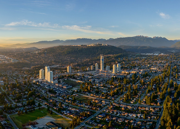
We have some of the industries highest resolution cameras available, giving us the ability to capture Gigapixel images that are ready for wall sized printing. We have multiple high resolution cameras to choose from and have presentation centre packages as well as rending and marketing packages available
We have packages tailored to creative agencies for capture only or live stream as well as editing and production services.
We offer High, Medium and Low resolution options, Consultation services, Multi Level capture services as well sub contract services for other marketing agencies.
AERIAL VIDEO SERVICES
Aerial Video Services:
We have packages tailored to creative agencies for capture only or live stream as well as editing and production services.
We offer High, Medium and Low resolution options, Consultation services, Multi Level capture services as well sub contract services for other marketing agencies.

